
Looking Up Your Weber County Neighbors
A Weber County neighbor lookup is a block-level research task. Start with a known parcel, identify the lots around it, and then choose the record source that answers the next question. GIS shows adjacency and roads. Parcel Search can give an owner as indexed. The Recorder supplies deeds and legal descriptions. A city or neighborhood program may explain civic activity, while a historical directory can show past households. None of these sources is a complete list of everyone who lives nearby.
| Source | What It Shows About a Block | Access |
|---|---|---|
| Weber GIS / Geo-Gizmo | Parcel polygons, roads, layers, nearby parcel IDs | Free viewer; custom data through GIS |
| Weber Parcel Search | Owner as indexed, situs/mailing clue, parcel details | Online when live; Assessor office |
| Recorder instruments | Grantor, grantee, date, legal description | Index, office, mail, copy, subscription |
| Utah voter information | Public fields under current law and request route | Self-search is not a block roster |
| Ogden neighborhood programs | Civic projects and association participation | Program pages; no member roster found |
An owner display is not proof of occupancy. A mailing address can belong to a trust or agent, and a directory can omit children, boarders, and people between editions. Treat each row as a dated clue, then stop when the question has been answered.
Weber County Neighbors in GIS
Weber GIS links Geo-Gizmo, an ArcGIS parcel experience, basic maps, WebMap viewers, downloads, and custom-map services. Known search concepts are land serial or parcel number, situs address, ownership, map navigation, and parcel geometry. The exact live layer names, popup order, and buffer or measure controls were not exposed in static inspection, so describe a nearby parcel only after the viewer shows it.
Use the map as a locator. Click the starting parcel, note the surrounding identifiers, and check the road or centerline relationship. Then run each parcel through the property and Recorder routes separately. A shared boundary is stronger than “nearby,” but it still does not establish a household or an easement.
The Weber County GIS page is the source behind this parcel-neighborhood capture.
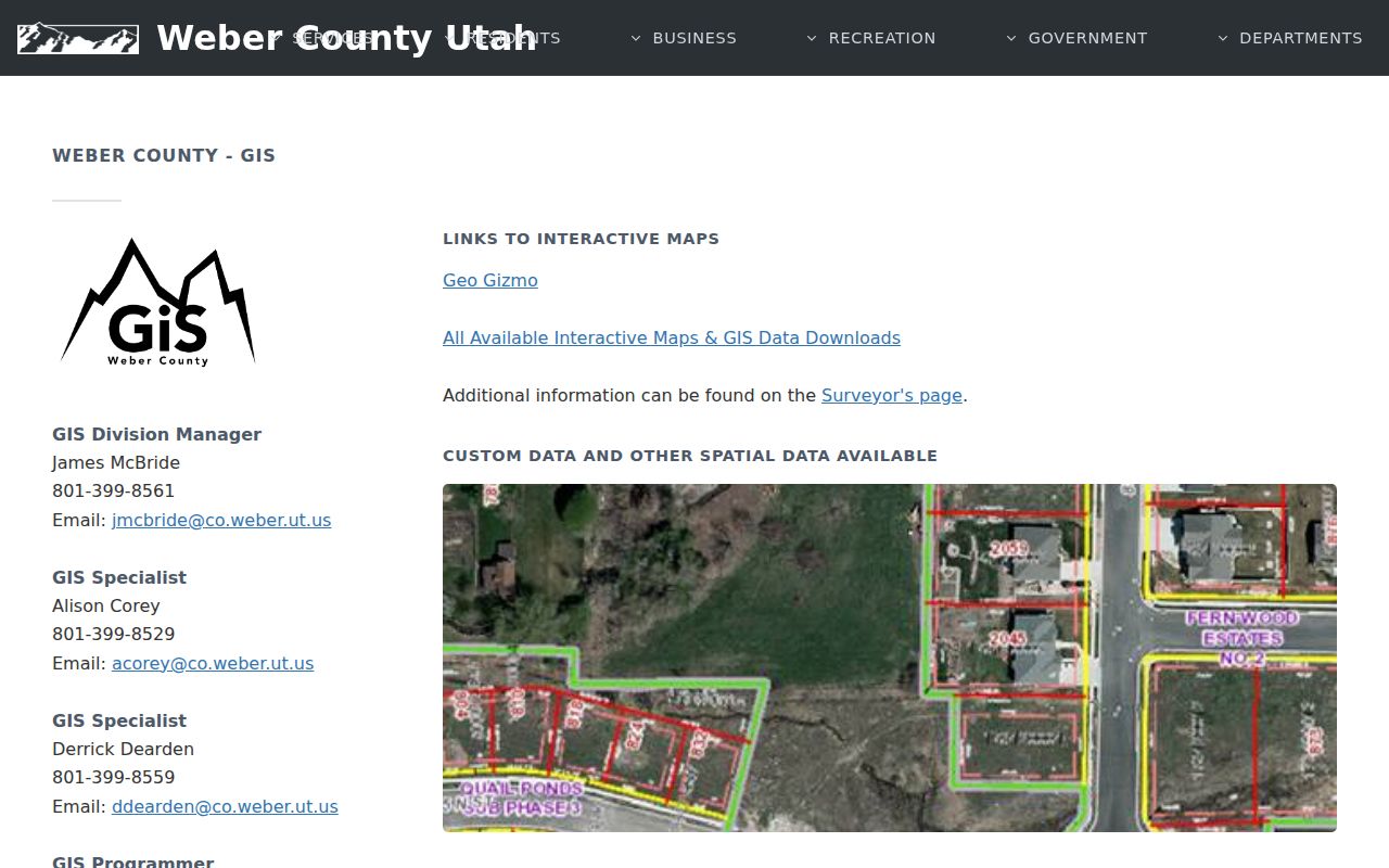
The Weber County GIS page explains the free viewer, data downloads, and custom map service. Custom maps are listed at $50 per hour with a one-hour minimum.
Mapping a Weber County Block for Neighbors
Walk outward from one address and keep physical adjacency separate from ownership, occupancy, ZIP, and city labels. The process is a parcel-to-record flow, not a bulk neighbor list.
- Locate the address in Geo-Gizmo or an official Weber ArcGIS viewer.
- Record the starting parcel, roads, shared boundaries, and nearby parcel identifiers.
- Check each selected parcel in Parcel Search for the owner as indexed, situs, mailing clue, and legal description.
- Use the Recorder when the question is a deed, plat, lien, or transfer, and the city when it is a permit or local file.
- For the complete named-street chain, switch to the Weber County street directory workflow.
Write down the source date and confidence for every adjacent parcel. If the map is unclear, ask GIS about a custom parcel map rather than guessing from a screenshot.
Weber County Neighborhood Programs
Ogden’s Neighborhoods and Community Building page names OgdenCAN in East Central Neighborhood, the Quality Neighborhoods Initiative, and Neighbor Up. The Neighbor Up grant program supports citizen and neighborhood-association projects, including block parties, cleanups, cross-generational or cross-cultural connection, and participation in city governance. Those pages describe civic activity, not a public member directory.
OgdenCAN
Named on the city neighborhood programs page as an East Central Neighborhood resource.
Neighbor Up
Grant route for citizens and neighborhood associations; grants are listed up to $575.
No official citywide HOA or neighborhood-association contact directory was located. Use a program page to reach civic resources, not to infer who belongs to a block.
Historical Weber County Neighbors
For a past-block question, compare the 1918 street guide, directory entries on both sides of the target year, plats, maps, newspapers, cemetery records, and probate. The Weber Polk collection covers 1870–1987 and may show head of household, address, occupation, spouse, phone, forwarding address, or post office. A directory is a dated lead, not proof that every person on the block appeared.
The Wall Avenue and Washington relationship can help translate an older numbered street. Preserve the old address, directional mark, city, and publication page before mapping it to today’s parcel. A street can have changed name or number, and a historical Weber boundary can differ from the current county.
The 1918 Ogden directory is a concrete source for old street and household clues. Compare any hit with the parcel and map record.
Privacy Limits on Weber County Neighbors
A block map can show parcels without showing every household. Voter self-search is for a registrant’s own record. Full date of birth, phone, email, signature, and identification numbers remain private in the state’s voter rules. Safe at Home keeps qualifying participants’ actual addresses confidential while a substitute address may be public. Utility, delivery, and DMV information are not general neighbor sources.
Lawful use. Weber neighbor research can support block history, civic participation, reconnection, or personal safety awareness. Do not use parcel, voter, directory, or address clues to watch, stalk, harass, threaten, or intimidate anyone.
| Official record | Commercial neighbor tool | Practical difference |
|---|---|---|
| Named county or city custodian | Aggregated vendor data | Use the custodian for source, date, correction, and access rules. |
| Parcel, deed, or map lead | Mixed address and name profiles | Neither establishes every occupant; official records still need interpretation. |
| Voter or community program | Unknown refresh and scope | Public fields and civic pages have narrower, documented purposes. |
Keep the radius and the retained detail small. If the goal shifts to a whole street, use the street workflow. If a record appears wrong, ask the custodian about correction or protected status.
Physical adjacency can also be misleading. A parcel may sit beside another lot while carrying a different city, ZIP, school district, tax unit, or mailing address. A shared block face is not the same as a shared legal boundary. Preserve the map’s scale and the source date so a later reader can tell whether “neighbor” means touching parcel, same street segment, nearby ZIP, or a civic connection.
The Ogden neighborhoods page is the source behind this civic-resource capture.
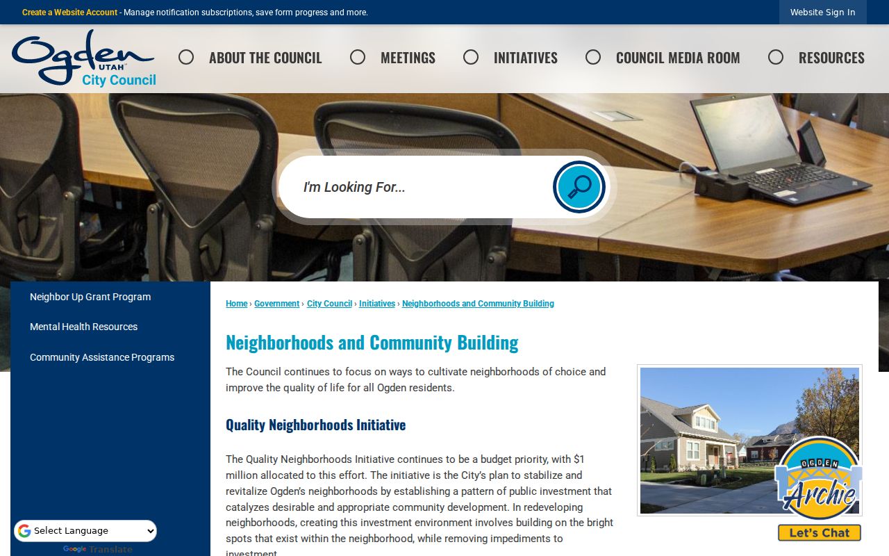
The Ogden neighborhood page names programs and civic resources, but it does not publish a citywide member roster. Use it to find community channels, not private household details.
A careful block note also records what was not available. Weber research did not locate a public street-wide parcel export, a confirmed map buffer control, a complete HOA roster, or a countywide cemetery list. Those gaps are useful boundaries. They tell a researcher when to stop clicking and contact GIS, the city, the Recorder, the library, or the relevant program office with one precise question.
For a civic question, the best next step may be a neighborhood program rather than a household record. For a property question, it may be a plat or deed. For a family-history question, it may be a directory, newspaper, or cemetery. Naming that purpose keeps a neighbor search narrow and prevents a map lead from being mistaken for a person’s current location.
Weber County Neighborhood Source Captures
The Ogden business-licensing page is a place-based civic source for a business near a block.
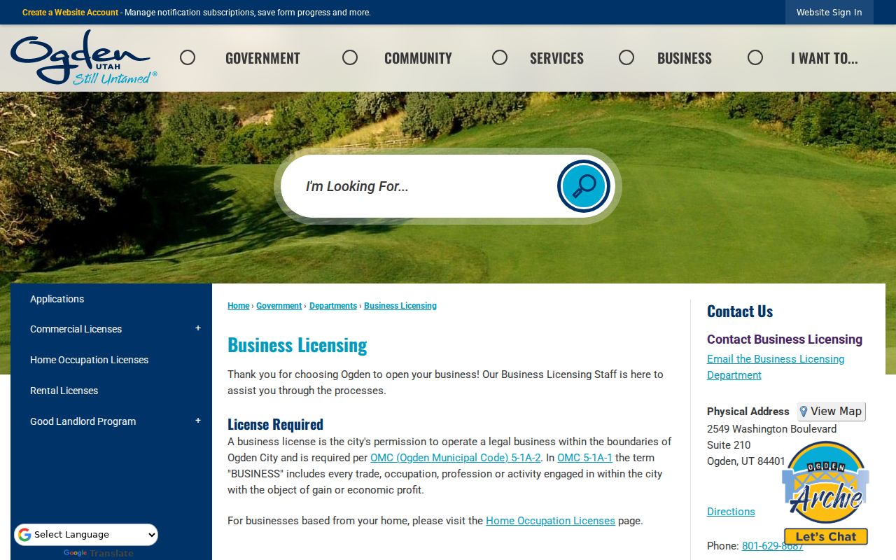
A business record can explain a site’s activity without identifying every person nearby.
The Utah business-entities page routes entity searches and filings.
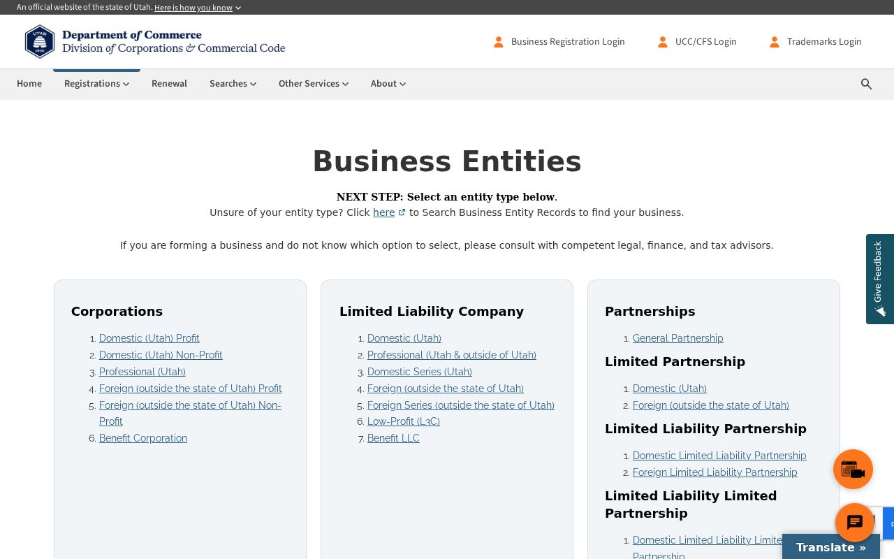
Keep an entity’s registered address and a neighbor’s physical residence as separate facts.
The Utah businesses and professional licenses search supplies another organization-level lead near a parcel.
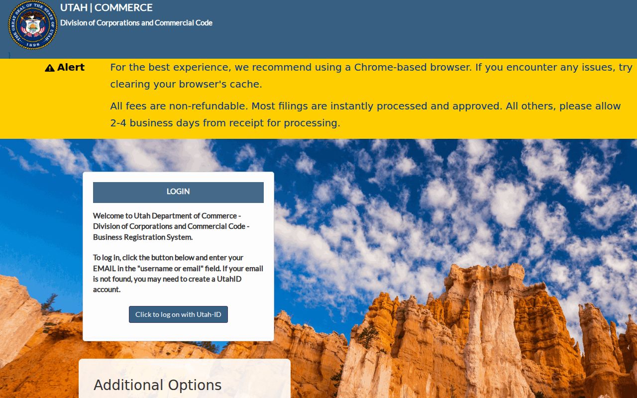
License or organization data can locate an activity, but it does not establish a private neighbor’s residence.
The Ogden city records and forms center helps identify the department for a block-specific question.
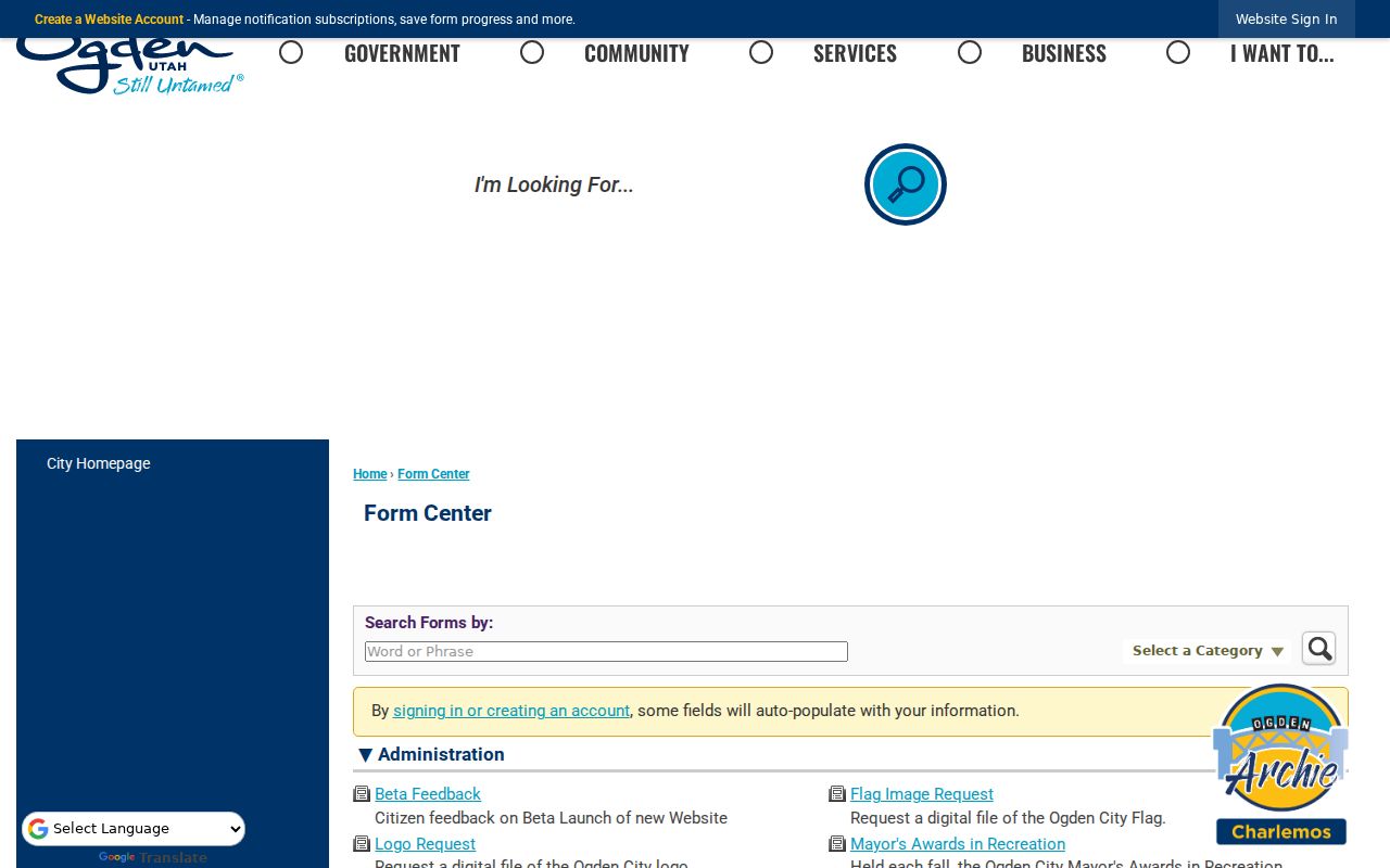
Use the form’s category and date fields to make a narrow, lawful request.
The Utah corporation search is useful when a nearby parcel is associated with an organization rather than a household.
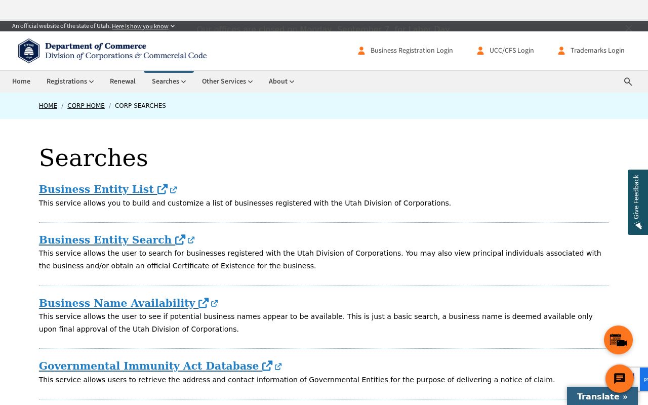
Entity registration does not prove occupancy, ownership, or adjacency.
The Ogden form center provides a second access route to city request forms.
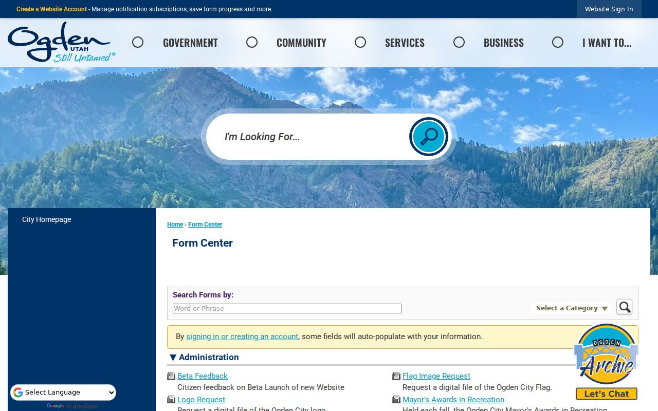
Record the form title and the city department so a future lookup can follow the same route.
The Neighbor Up grant program shows a community-scale alternative to person-by-person searching.
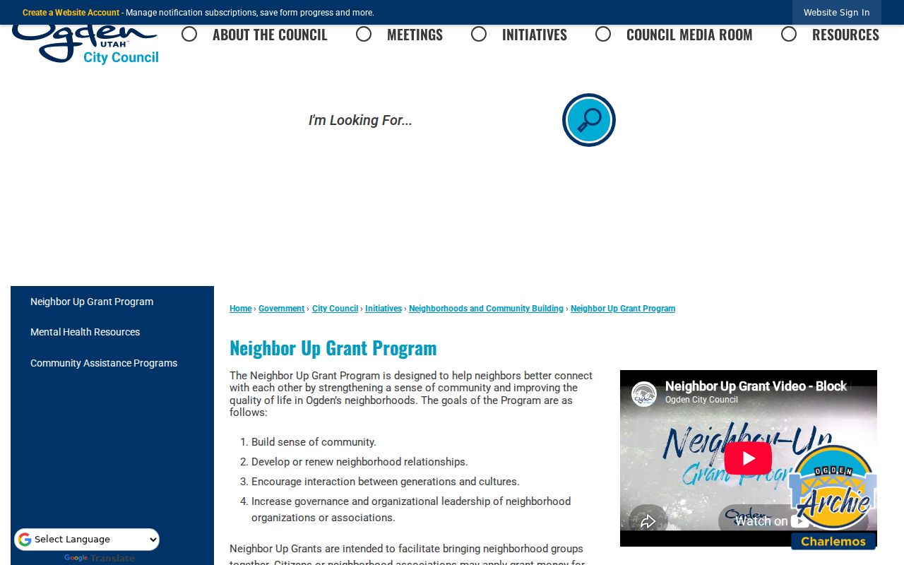
Community programs can connect residents around a project without publishing a private neighbor list.