
Finding Who Lives on a Weber County Street
A street search works best as a chain of address-keyed records. Start with the number and street exactly as supplied, then keep the municipality, ZIP, and date beside it. Weber Parcel Search can return a parcel or owner lead. GIS can show the lot’s shape and road relationship. The Recorder can identify instruments tied to the parcel. Voter and directory records may add household evidence, but neither creates a complete public roster.
- Run the address through Weber County Parcel Search. If needed, try the house number alone, the owner’s last name, and the parcel number.
- Open Weber Geo-Gizmo or the county GIS page to check the parcel shape, centerline, map label, and nearby lots.
- Write down the parcel or land-serial number, situs address, mailing address, legal description, and tax unit.
- Use the Recorder’s index or document-order route to connect the parcel to deeds, liens, plats, or historic tax maps.
- For a dated household question, compare Utah voter rules, Polk directories, newspapers, cemetery entries, or a precise municipal request.
The order matters. A map gives location, an assessor gives a tax and ownership lead, and a recorded instrument supplies the stronger legal record. A historical directory belongs to its edition year.
Weber County Street Search Fields
The county search page separates parcel, owner, and address lookups. It says the extracted data comes from the Assessor, Recorder, and Treasurer. During research the page displayed a maintenance notice, so inspect the live result cards before relying on any field that is not listed here.
| Parcel Number | Optional text, partial values accepted; the nine-digit example is 100130001. |
|---|---|
| Owner | Enter a last name first; a trust or spouse may be the indexed owner. |
| Address | House number alone can start the search; full values use USPS-style abbreviations. |
| Search | Each card has its own Search control. |
If a full street value fails, preserve the original spelling and try the number alone, the municipality, or a parcel clue. There was no confirmed ZIP filter in the maintenance state.
Weber County Street Directory Records
Address-keyed sources overlap, but they do not answer the same question. The coverage table keeps an owner lead, map, deed, voter record, and municipal file distinct.
| Record Set | Keeper | What It Shows | Access |
|---|---|---|---|
| Property or tax lead | Weber Assessor | Owner as indexed, situs/mailing clue, value, status | Parcel Search or office |
| GIS parcel map | Weber GIS | Geometry, roads, layers, adjacent parcels | Free viewer; custom maps available |
| Deed or lien | Weber Recorder/Surveyor | Parties, instrument, date, legal description | Index, office, mail, copy, subscription |
| Voter information | Utah Elections | Public fields under current law and request route | Self-search or state file rules |
| Permit or code lead | Municipal custodian | Address, project, inspection or enforcement lead | City form center or request |
The parcel or land-serial number is the bridge. It ties the map to the Recorder’s legal description and helps separate two streets with similar names. Municipal records can sit with Ogden or another city, not the county. The Ogden form center exposes word, phrase, category, and Search controls for city-held routes.
Weber County Street Grid and Quadrants
Weber address work has a local decoding step. Utah’s Geospatial Resource Center identifies the countywide origin at Wall Avenue in Ogden, between 120 North Wall and 106 South Wall. Numbered east and west streets reference Washington and Wall, while north and south numbers express distance from the local origin. The same number can therefore mean little without direction, city, ZIP, and parcel.
The 1918 Ogden directory adds a historical cross-check. Its street guide describes Third East or West from the 300 block of Washington, Tenth from 1000 Washington, and Thirtieth from 3000. Preserve the old abbreviation, post-office label, and direction before translating it into a current search.
The Utah address-system quadrants page is the source behind this street-grid capture.
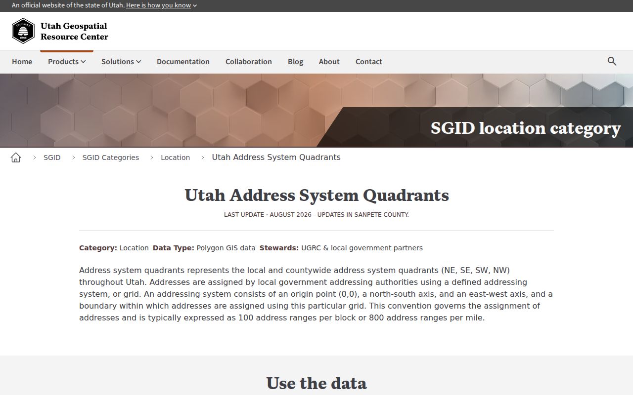
The Utah address-system reference explains the Wall and Washington relationship. It helps normalize an old entry, but the parcel and recorded description still control the property identity.
Weber County Street Directory Deed Trail
Weber’s Recorder FAQ warns that an address is not a complete legal description. Use the address to locate the parcel, then move through the legal key. The Recorder’s page links Parcel Search, Property Watch, document ordering, recorder fees, Tax Plat/Dedication Plat Search, Historic Tax Maps, and Old Abstracts (Pre 1980). The exact earliest online grantor-grantee date was not stated, so do not promise a full historical run.
- Copy the parcel or land-serial number and the legal description from the property lead.
- Compare the GIS shape, subdivision, lot, block, plat, and street relationship.
- Search the Recorder by owner, grantor, grantee, document reference, or legal description where the live route allows.
- Order the image, visit the office, or mail a precise request naming instrument number, recording date, parties, and legal description.
- Read the instrument and compare it with later conveyances. Do not treat an assessor display as a title opinion.
Weber Recorder guidance says staff can retrieve public documents but do not perform title searches, provide legal descriptions by phone, or give legal advice.
The Recorder FAQ also explains why a street number is only a lead in land research.
The Weber Recorder FAQ is the source behind this street-records capture.
Use the Recorder FAQ and fee route to prepare a precise copy request and to keep legal-description limits clear.
Weber County Street Names Need Checks
No single official Weber-wide renumbering or street-renaming index was located. For an old address, search the current parcel with both spellings, compare centerlines and parcel geometry, and check the municipal planning, building, or recorder route. Newspapers can date a move or renumbering. Directories can show a forwarding address, spouse, business, or post office that makes the change legible.
ZIP and city labels are separate clues. USPS assigns the delivery ZIP, a municipality maintains address or permit records, GIS shows the physical parcel, and the Recorder holds the legal description. A rural route or mailing address outside Weber County does not by itself move the parcel into another jurisdiction.
Note: An old street entry can identify a household and year without proving that the modern parcel had the same number at that time.
Reading Weber County Street Directory Records
The Weber County Polk collection at Weber State covers 1870–1987. Entries are arranged by head of household and may show address, occupation, spouse notation, later phone number, death date, firm partners, or forwarding address. These volumes are valuable for a dated address sequence, but they are not a complete resident census. A boarder, child, renter, or person between editions can be absent.
Use the full directory collection on the Weber County city directory page when the goal shifts from a current street chain to the historical shelf. For this street-focused search, use a directory to test an old address, then corroborate it with a parcel, newspaper, census, obituary, or deed reference.
The Weber State Polk collection gives the collection date span and access lead. Record the volume, page, street spelling, and source date for every useful hit.
Weber County Street Directory Requests
A whole-street request is not the same as a single-address lookup. The public Parcel Search page did not expose a documented street-wide or ZIP-wide export during inspection. Work parcel by parcel, or ask GIS whether a custom parcel, centerline, or map product fits the question. The county lists custom maps at $50 per hour with a one-hour minimum.
For a Recorder request, name the instrument or document number, recording date, grantor, grantee, parcel or land-serial number, and legal description. For a municipal permit or code record, identify the city, address, project type, and date range. For voter information, use the state’s current request and privacy rules rather than treating the self-search form as a street list.
The most reliable street directory worksheet has one row per parcel, with separate columns for map ID, situs, mailing clue, owner as indexed, legal description, instrument reference, city, ZIP, source date, and confidence. That format prevents a neighboring parcel, a similar street name, or a historical address from being silently merged into the wrong record.
The Weber Recorder fee page is the source behind this fee-schedule capture.
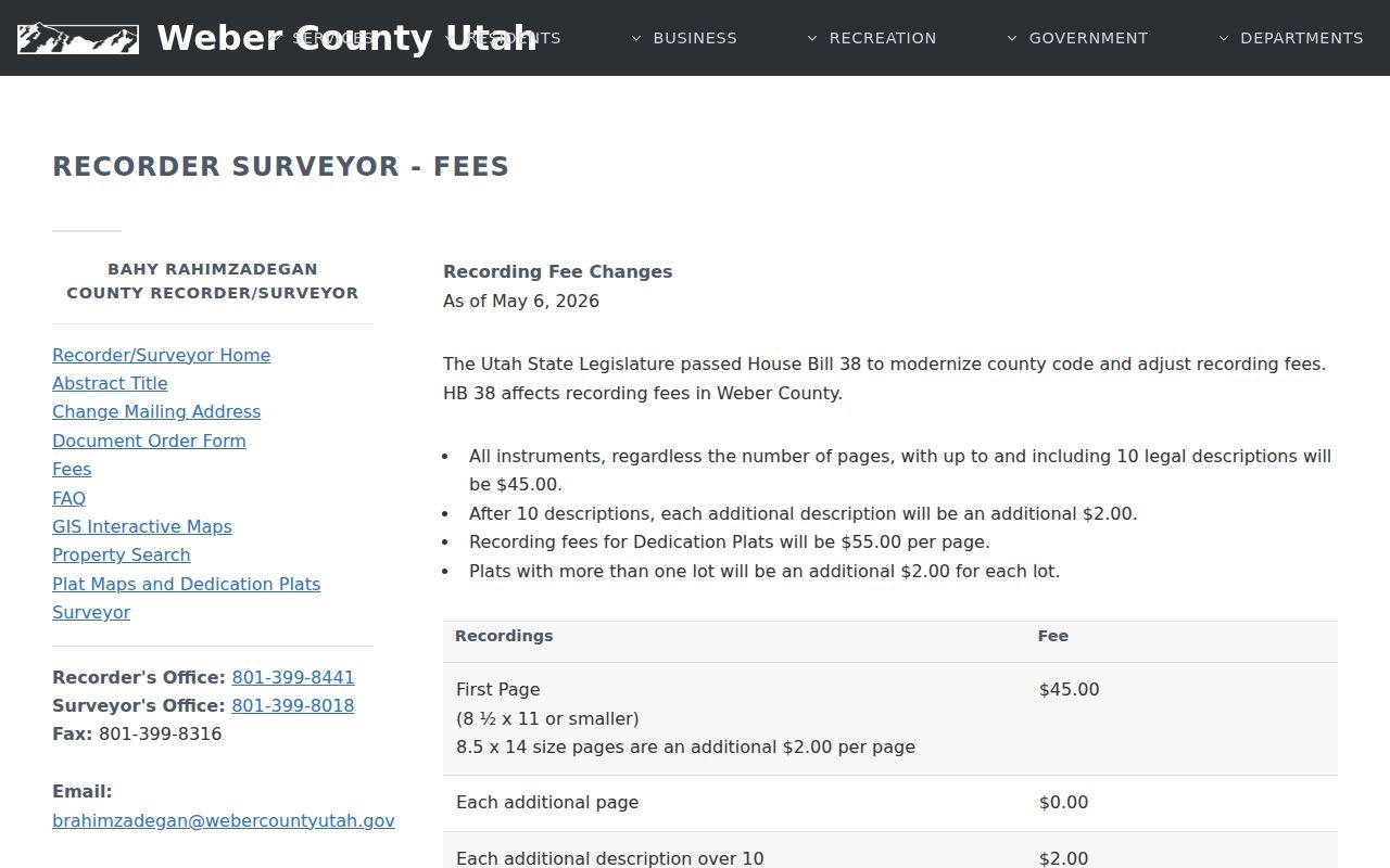
The Weber Recorder fee page supplies the current fee lead and notes a May 6, 2026 schedule change. Confirm charges before ordering copies.
What a Weber Street Directory Cannot Show
Address records are uneven. A parcel card may show an owner, not every occupant. A mailing address may belong to a trust, agent, or institution. A directory may list one head of household. A voter self-search is for the voter’s own registration, and protected records stay outside ordinary lookup. DMV information is restricted, and utility customer lists are not a general public block source.
Lawful use. Weber street and address records may support personal research, family history, property history, or civic work. Utah law does not permit stalking, harassment, threats, intimidation, or repeated unwanted contact.
- Parcel
- A mapped tax unit with a parcel or land-serial identifier.
- Situs address
- The physical place tied to the parcel, distinct from a tax-mailing address.
- Plat
- A recorded map showing lots, blocks, streets, or dedications.
- Criss-cross directory
- An address-ordered directory concept; Weber’s official collection description does not confirm a separate public run.
For current block work, stop at the minimum record needed. For a different person-centered question, use the Weber County resident lookup route and its verification limits.
Weber Street Records Source Captures
The Weber County Assessor is the property-record starting point for ownership and parcel clues.
Confirm the parcel, situs, and tax-year context before treating an owner field as an address history.
The Assessor FAQ explains common property-record questions and the limits of a quick lookup.
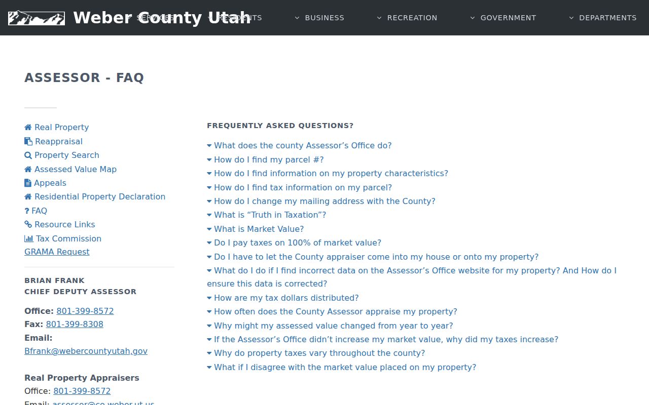
Use the FAQ to distinguish a parcel fact from an inference about who occupied it.
The Weber County Recorder and Surveyor page connects deed recording, surveys, and land-document requests.
A street-directory worksheet should preserve the instrument number and legal description supplied by this custodian.
The Utah land-record search is another access point for recorded-document research.
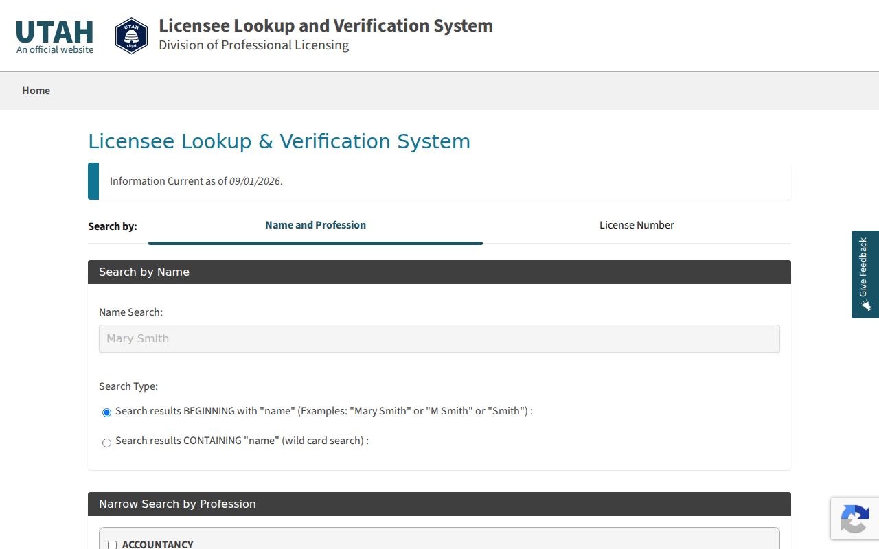
Index access and document-image access are separate steps; record both when checking a street.
The Weber County Parcel Search links an address to a parcel key when the live portal is available.
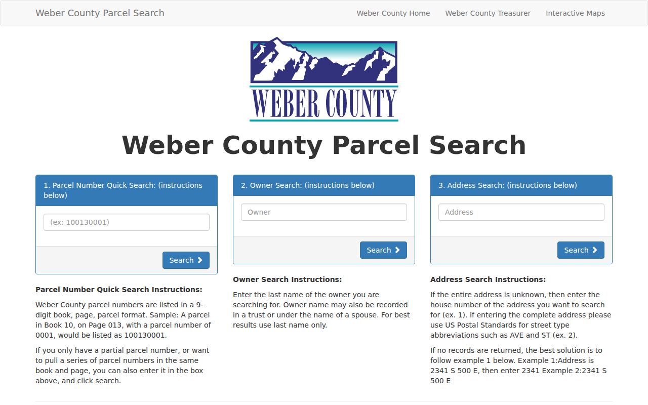
Because portal fields and maintenance states change, preserve the search date and the exact result fields.